The 60-second version
The Wasaga Beach Provincial Park trail network has three usable training zones: the 14 km of beach from Area 1 to Area 6 (soft sand at the waterline, harder packed sand 3 to 5 metres up the slope), the Nordic Centre loops at Sunnidale Road (Blue 2.6 km, Red 4.7 km, Black 7.8 km, all firm forest path), and the dune-trail hill repeats behind Beach Areas 4 and 5. Year-round access on the beach; Provincial Park entrance fees apply summer through October. The trails are dramatically underused for training relative to their quality — especially the Black Loop’s technical north-east section — and they support every kind of session from zone 2 base to soft-surface long runs to dune-sprint power work.
Three zones, one provincial park
Most visitors to Wasaga Beach Provincial Park experience the world’s longest freshwater beach and stop there. The trails behind the dunes — sandy singletrack through pine forest, hard-packed multi-use paths, and the long beach itself — are a quietly excellent place to log running miles, do hill repeats on the dune system, or build aerobic base on softer surfaces than pavement.
Park entrance fees apply in summer (typically May to October). Annual Ontario Parks pass holders skip the booth. Park staff at Beach Area 1 will direct you to the correct lot for the trail you want; if you want the Nordic Centre loops directly, take the Highway 92 / Sunnidale Road approach rather than coming in through the main beach gate.
Blue Loop (Nordic Centre) — 2.6 km
Easiest of the three Nordic loops. Almost entirely flat to gently rolling. Surface is sand mixed with packed soil. Good for an aerobic shakeout, a recovery run the day after a hard session, or anyone returning from injury. Loose sand patches in late summer slow your pace; budget about 10% more time than the same distance on pavement.
Best for: zone 1 to zone 2 base training, walking, family outings.
Red Loop (Nordic Centre) — 4.7 km
Moderate. Adds two short climbs and a long, gradual descent through pine. Surface is firm year-round. The most balanced of the three Nordic loops for general training. Trail crosses a service road twice; both crossings have visibility issues if you’re moving fast.
Best for: zone 2 long runs, fartlek with the climbs as work intervals.
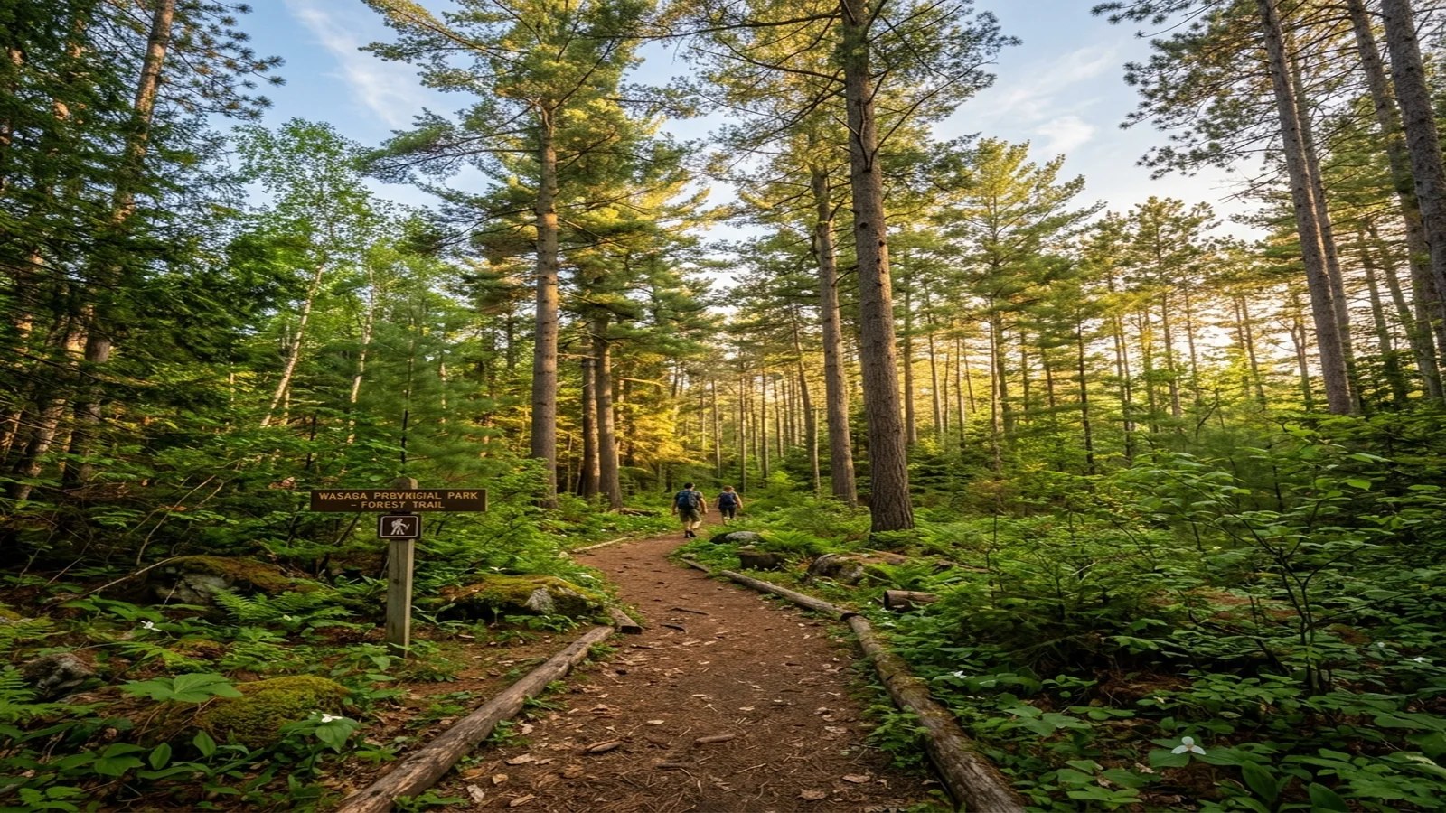
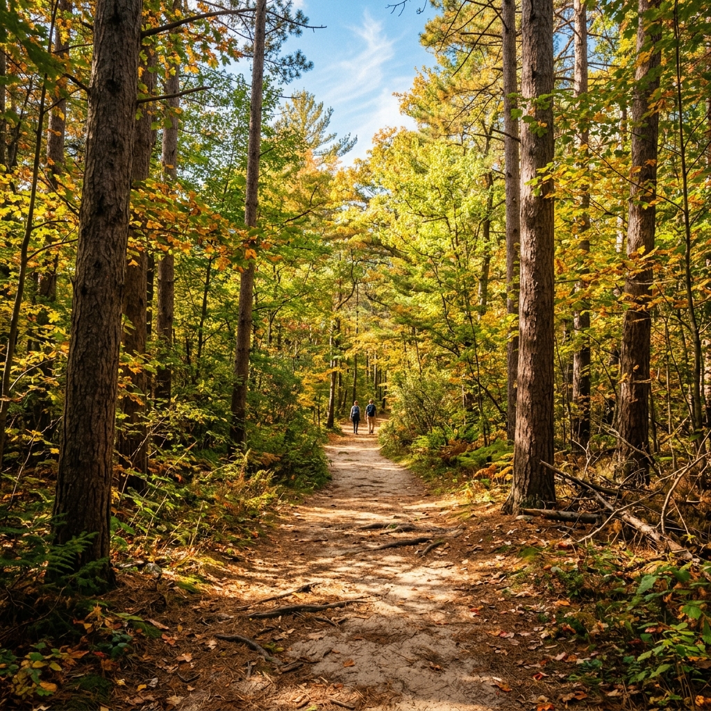
Black Loop (Nordic Centre) — 7.8 km
The full perimeter. Includes the technical north-east section with roots, a steep brief descent, and one notable climb. About 95 metres of total elevation gain — not alpine, but enough to feel it on a hot day. Closes the loop with a flat 1.2 km return through younger pine.
“The technical section is genuinely technical when wet. After heavy rain, slow down by 30% and pick your line carefully — fallen pine debris hides root edges. The Black Loop after a 24-hour rain is more like a cross-country obstacle course than a running surface.”
— on-foot observation, autumn 2026
Best for: zone 2 to zone 3 long runs, trail-running specific work, cross-training for road runners.
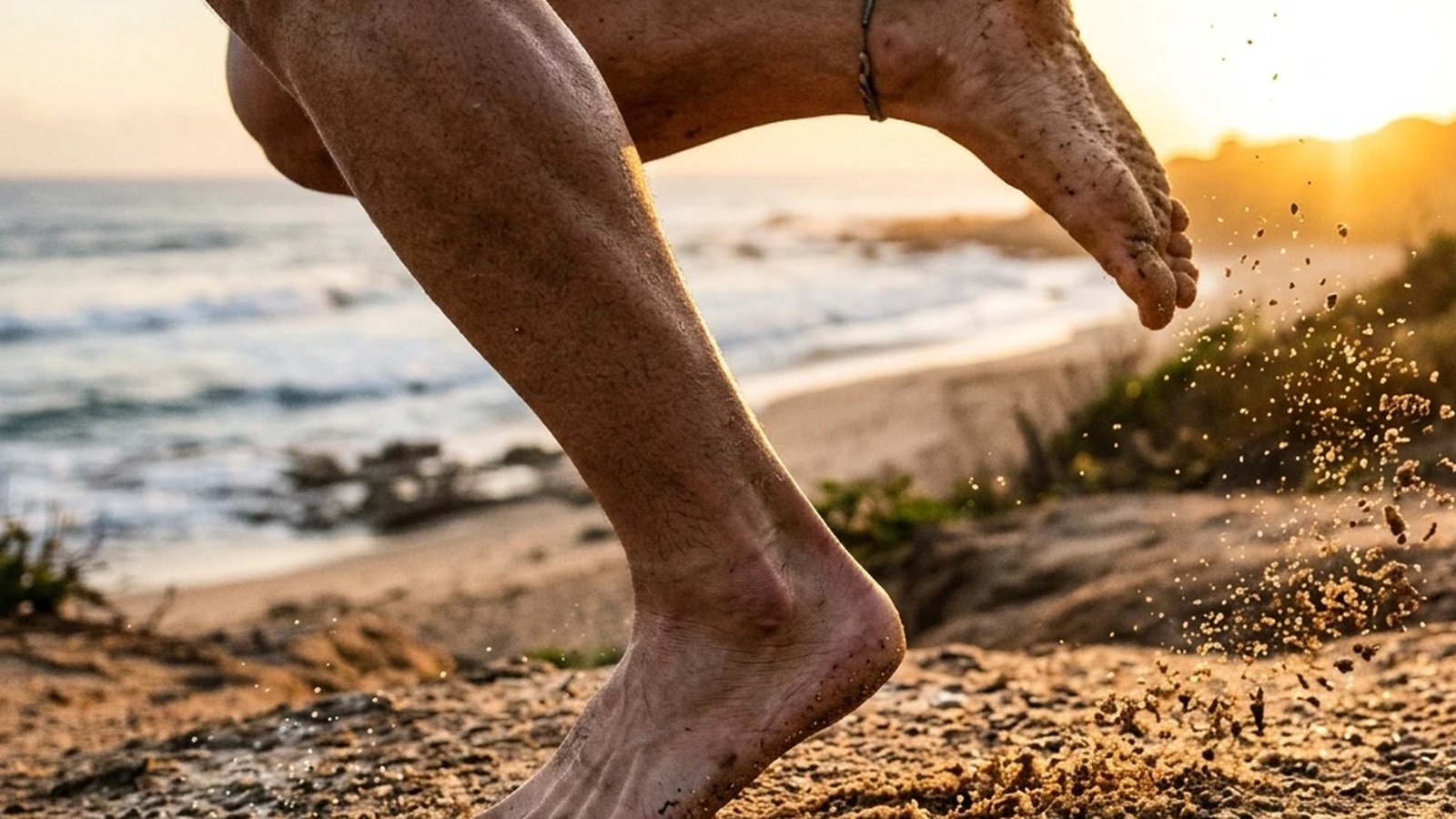
Beach Area 1 to Area 6 — 14 km point to point
The full beach run. Soft sand at the waterline, harder packed sand higher up the slope. Most runners stay 3 to 5 metres above the waterline where the sand is firmest. Strong westerly winds in autumn and spring make the southbound leg punishing; do the wind-exposed direction first when you have legs to push into it.
Ankle proprioception fatigue is real. Running 8+ km on soft sand for the first time will leave you with sore peroneals for two days. Build up gradually — 4 km soft-sand once a week is a reasonable starting dose, scaling 10% per week.
Best for: soft-surface long runs, calf strength development, barefoot acclimation.
Dune hill repeats
The dune system behind Beach Area 4 and 5 has short, steep paths up and over the stabilised dunes. From the beach side, climbs of 20 to 40 metres in distance and 6 to 10 metres of elevation. Soft sand at the top, firmer at the base. Soft sand at the top of the dune absorbs power; expect to hit the descent slower than your usual road hill repeat.
Best for: explosive hill sprints, calf and posterior chain power work, ski-specific training in summer. Five sets of six repeats is a serious session.
Pace expectations by surface
Three surfaces, three pace bands. A reasonable pace gap between road, hard-packed Nordic loop, and soft sand sits around 30 to 45 seconds per kilometre between each tier for trained runners. If your road easy pace is 5:30/km, expect about 6:00 to 6:15/km on a dry Black Loop and 6:45 to 7:30/km on soft sand 3 to 5 metres above the waterline. Wet conditions on the technical Black Loop section can add another 30 seconds per kilometre. None of this means you’re slowing down; it means the surface is doing more of the work, which is the whole point of training off pavement.
For interval and tempo work, the Red Loop is the practical default. The two short climbs make natural fartlek targets, and the firm surface gives you reliable splits. Save the Black Loop for zone 2 base work where pace doesn’t need to be precise; the technical sections punish anyone training to a stopwatch.
Family use and kid-friendly options
The Blue Loop is the family default — flat, short, navigable for kids ages 6 and up at a walking pace. Beach Area 1’s boardwalk is the only fully accessible route in the park; jogging strollers handle it well, and the picnic area at the trailhead means a 2 km out-and-back fits a one-hour family window. For kids on bikes, the multi-use Wasaga-to-Collingwood Georgian Trail connector starts a few minutes’ drive away and is the better choice than any of the singletrack loops.
Extending each loop
Both Nordic loops dead-end at their parking lot, but the broader Provincial Park trail system links to the Ganaraska Wasaga section just north of the Nordic Centre. A determined long run can chain Black Loop to a Ganaraska connector north for an additional 5 to 7 km of similar surface. The same connector links south toward the beach, making a Nordic-to-beach-to-Nordic figure-eight realistic at about 18 km total. Print the larger trail map at the Nordic Centre kiosk before attempting; phone signal in the wooded sections is patchy.
Practical notes
- Surface in the wet. The Nordic loops drain well except for two specific low spots on Red Loop. After heavy rain, expect ankle-deep water in those sections for 24 to 48 hours.
- Stroller and wheelchair access. Beach Area 1’s accessible boardwalk is the only fully accessible route. The Nordic Centre loops are not stroller-friendly — pine roots and sand make most jogging strollers struggle.
- Dogs. Permitted on most park trails but must be leashed. Dog-friendly beach access is at Beach Area 1 outside summer peak; check the park’s current rules before relying on it.
- Tick season. May to October. Check yourself after every trail session. Lyme disease is established in Simcoe County. Wear long socks for tall-grass sections of the Red and Black loops.
- Parking. The Nordic Centre lot off Sunnidale Road is the cleanest access if you want trails without the beach crowd. About 30 cars; fills up by 9 am on summer Saturdays.
Pairing with the rest of the area
If you’re driving in for a half-day session, the natural pairing is a Nordic loop in the morning followed by a beach walk-down or a cooldown along the Ganaraska connector. The full Wasaga / Collingwood / Blue Mountain trail network gives you about 60 km of varied surface within a 30-minute drive.
For winter access, the Nordic Centre loops are groomed for cross-country skiing and runners are not permitted on the groomed tracks. The beach itself is runnable year-round but check ice conditions — the wave-tossed shore freezes in irregular patterns from December through March.
Practical takeaways
- Pick the loop that matches your session. Blue for recovery and aerobic shakeouts, Red for balanced long runs, Black for trail-specific work and harder sessions.
- Build into soft sand gradually. 4 km once a week to start; scale 10% per week. Sore peroneals for 48 hours is normal in week one.
- Wind matters more than you’d think. Strong westerlies through October to April make the southbound beach leg punishing. Run into the wind first.
- Use the dunes for power. Behind Areas 4 and 5; short, steep, soft. The closest thing to ski-specific summer training within driving distance.
- Don’t skip the tick check. Established Lyme in Simcoe County; the trails go through tall-grass sections that are exactly the habitat. Long socks help; a post-run shower and visual check is the actual habit.
References
Ontario Parks 2026Ontario Parks. Wasaga Beach Provincial Park — visitor information and trail map. Government of Ontario. View source →Public Health Ontario 2024Public Health Ontario. Lyme disease in Ontario: surveillance and risk areas. Annual report. View source →Barton 2014Barton CJ, Lack S, Hemmings S, Tufail S, Morrissey D. The "Best Practice Guide to Conservative Management of Patellofemoral Pain": incorporating level 1 evidence with expert clinical reasoning. Br J Sports Med. 2015;49(14):923-934. View source →