The 60-second version
The Stayner-area multi-use rail-trail (the Sunnidale Trail and connectors south of Wasaga) is the underrated commuter and recreational cycling corridor that most Wasaga-based cyclists overlook in favour of the more famous Georgian Trail. Roughly 12–18 km of accessible, mostly-flat former rail corridor extends through Sunnidale Township and Stayner, providing a quieter alternative for everyday cycling and a rural-character ride that the Georgian Trail’s busier corridor doesn’t match. The published research on active commuting (Celis-Morales et al. 2017; Mytton et al. 2016) shows substantial cardiovascular and mortality benefits from cycling commutes that translate directly to recreational use of the same infrastructure. For Wasaga residents, the Stayner trail system provides: a workable cycling commute to Stayner (about 10 km from central Wasaga), a quieter recreational alternative to the Georgian Trail, training distance for cyclists building base, and a lower-stress family riding option than vehicle-trafficked roads.
What the Stayner trail system actually is
The trail network consists of multiple connecting segments that collectively form an accessible cycling corridor:
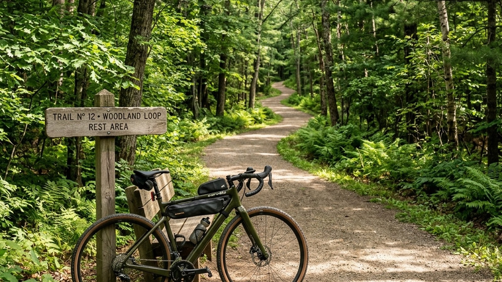
- Sunnidale Trail (former rail corridor): the principal segment, running from approximately the Wasaga town boundary southward through Sunnidale Township toward Stayner.
- Connector paths: links between the rail-trail and Highway 26, downtown Stayner, and the Wasaga Beach municipal trail system.
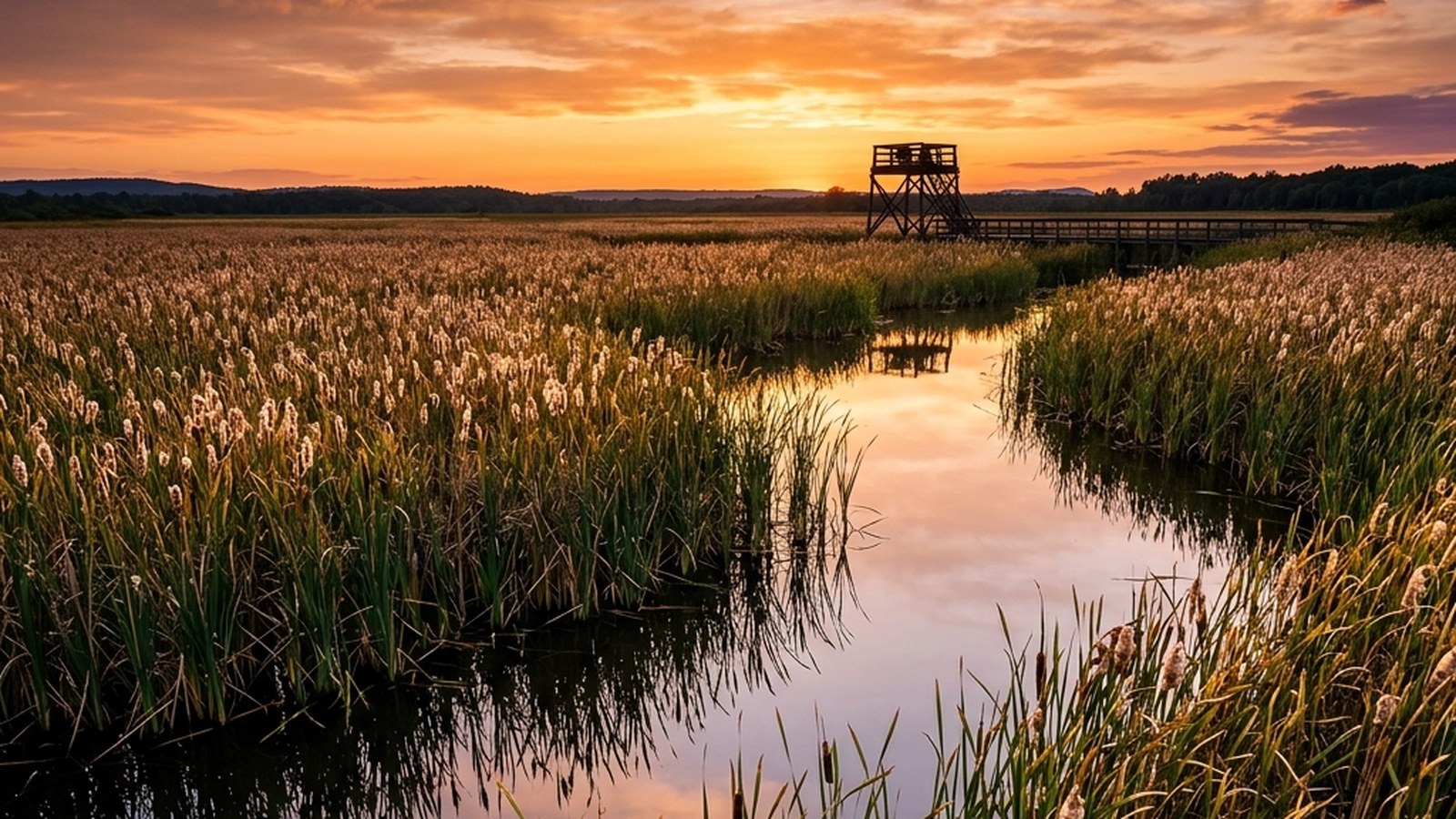
- The Greenwood Connector: links Stayner to the Tiny Marsh and broader regional trail network.
- Bay Street trail (where applicable): short urban-trail segments through Stayner’s downtown.
The combined corridor offers approximately 12–18 km of usable cycling infrastructure (figures vary by year as municipal projects extend or maintain segments). Surface is mostly hard-packed crushed-stone or paved, depending on segment. Grade is gentle; the rail-corridor heritage means gradients rarely exceed 2–3%.
The trail system has been developed over multiple decades by Clearview Township, Sunnidale Township, and Wasaga Beach municipal partnerships, often with support from regional trail associations. It’s part of the broader Trans Canada Trail network in some segments.
How the Stayner trail compares to the Georgian Trail
The Stayner trail and Georgian Trail are both rail-trail derivatives, but with distinct profiles:
- Length: Stayner trail ~12–18 km of usable corridor; Georgian Trail 32 km Wasaga-to-Meaford.
- Crowd density: Stayner trail substantially quieter, particularly in peak summer when the Georgian Trail draws tourists. Local-only character.
- Surface: both have paved or hard-packed crushed-stone surfaces; Stayner trail’s surface quality varies more by segment.
- Scenery: Georgian Trail has scenic shoreline and small-town stops; Stayner trail has more rural agricultural and forest character.
- Access points: Georgian Trail has more developed access infrastructure; Stayner trail uses informal local access.
- Direction: Georgian Trail runs east-west along the bay; Stayner trail runs north-south through inland farmland and forest.
- Commute utility: Stayner trail provides more useful inland connectivity for residents commuting to Stayner; Georgian Trail is primarily recreational.
For Wasaga residents, the Stayner trail is the daily-commute option; the Georgian Trail is the destination-recreation option. Many local cyclists use both depending on the day’s purpose.
Cycling as a commute option
The Wasaga-to-Stayner commute is approximately 10 km via the trail corridor, comparable to driving. The published evidence on cycling commuting (Celis-Morales et al. 2017 in the UK Biobank cohort; broader literature) shows substantial benefits:
- Cardiovascular fitness: cycling commutes produce VO2max gains comparable to dedicated training programs, simply by adding the daily ride.
- Mortality reduction: meta-analyses consistently show 20–40% lower all-cause mortality in cycling commuters compared to car commuters.
- Cancer risk: the UK Biobank data showed reduced cancer mortality in cycling commuters, plausibly mediated by activity volume and metabolic health.
- Mental health: outdoor activity during the commute supports mood; the buffer between work and home reduces stress carry-over.
- Cost savings: vehicle-cost reductions (fuel, wear, parking) often exceed cycling-equipment depreciation by orders of magnitude.
- Time efficiency: at typical pace (15–20 km/h), a 10 km cycling commute takes 30–40 minutes — comparable to driving plus parking time.
For Wasaga residents employed in Stayner, the cycling commute is a feasible option from approximately April through October in normal years. Spring and autumn shoulder seasons require attention to weather and visibility; winter cycling on the trail requires fat-bike equipment and is uncommon in this corridor.
Recreational use protocols
Beyond commuting, the Stayner trail supports several recreational use patterns:
- Easy distance ride: 20–30 km out-and-back covering the full corridor at conversational pace. Suitable for fit-but-not-trained adults; takes 1.5–2 hours.
- Tempo training: structured pace work on the corridor’s flat sections. The lower traffic density supports continuous riding without frequent yielding.
- Long-distance ride: combine with the Georgian Trail or rural roads for 50–80 km loops covering broader Simcoe County. The Stayner segment serves as a quieter section.
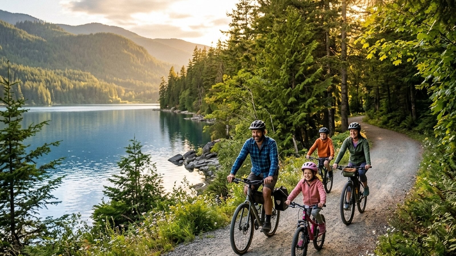
- Family ride: kid-trailers and tag-alongs work well; the lower traffic and access points make graduated kid-cycling easier than the Georgian Trail in peak season.
- Walking and running: the trail is multi-use; runners and walkers use the same corridor.
- Cross-country skiing: in winter, sections of the trail are skiable when groomed (some segments are not maintained for winter use).
- Snowshoeing: ungroomed segments work for snowshoeing in winter.
Specific trailheads and access points
The Stayner trail system has multiple practical access points; this list reflects the realistic options for Wasaga-based users (verify current municipal access policies as some may change):
- Wasaga town boundary access: where the trail enters Wasaga from the south. Local-knowledge access via residential streets and trail signs.
- Sunnidale Township access points: typically via concession road crossings; rural parking areas on shoulder of road.
- Stayner downtown access: connector from the rail-trail into downtown Stayner. Public parking and bathroom facilities at municipal buildings.
- Greenwood/Tiny Marsh connector: links to Tiny Marsh trail system.
- Highway 26 crossings: at-grade crossings with appropriate caution; cyclists should treat these as intersections.
For first-time visitors, the Stayner downtown access is the most practical starting point. Park in downtown Stayner, ride north toward Wasaga for the desired distance, return.
Specific cycling protocols
For the new commuter cyclist
- Week 1: ride the corridor on a weekend at easy pace to learn the route, identify hazards, and assess time.
- Week 2: one weekday commute, allowing extra time. Drive home if needed; the commute is a learning experience.
- Week 3: 2–3 weekday commutes; develop the routine.
- Week 4+: regular commute pattern based on weather and schedule.
For the recreational cyclist building base
- Easy distance rides: 30–60 minutes 2–3 times per week on the trail.
- One longer weekend ride: 90 minutes to 2 hours covering the full corridor and/or combining with adjacent rural roads.
- One quality session per week: tempo or threshold work on flat sections; hill repeats on the few graded sections within reach.
- Pair with strength training: 2 sessions per week of basic strength work supports the cycling.
For the family rider
- Short out-and-back: 30–60 minutes from a chosen trailhead, with a kid-friendly turnaround landmark.
- Pace: kid-pace, with stops for water, snacks, and looking at things.
- Helmet on always: under-18 helmet is mandatory in Ontario; sensible for adults too.
- Trailhead picnics: many access points have picnic-friendly spots; build the ride around the social experience.
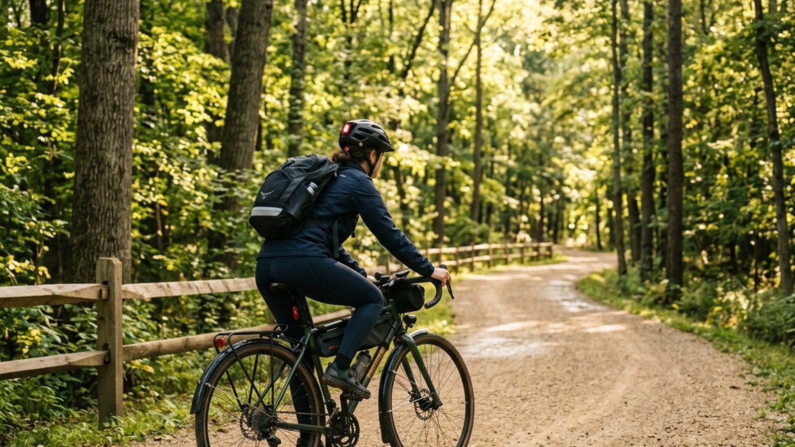
Bike selection for the trail
The Stayner trail’s mixed surface (paved sections plus hard-packed crushed-stone) favours hybrid or gravel bikes over pure road bikes:
- Hybrid bike: the standard recommendation. Wider tires (35–42 mm) handle the surface variation; flat-bar geometry is comfortable for casual riding.
- Gravel bike: similar but with drop bars and slightly more aggressive geometry. Suited to riders who also want to explore the rural roads connecting the trail.
- Mountain bike: overbuilt for the trail surface; suspension is unused. Works fine but rolls slower than necessary.
- Road bike: feasible but the narrow tires (23–28 mm) struggle on the crushed-stone sections.
- E-bike: increasingly common, particularly for commuting. Flat trail surface and reasonable distances make e-bikes practical without aggressive battery management.
For the first-time visitor without specific gear, any bike that’s reasonably maintained will work for a modest distance. Tire pressure should be modestly lower than road riding (50–70 PSI for hybrid tires; check the tire sidewall for the specific pressure range).
Safety considerations on the Stayner trail
- Helmet always: Ontario law for under-18; common-sense for adults.
- Visibility: bright clothing, lights at dawn/dusk, reflective elements.
- Road crossings: at-grade crossings with rural roads. Treat as intersections; stop, look, cross.
- Surface conditions: hard-packed crushed-stone is reliable in dry weather; mud after rain. Soft sections after rain require more cautious cornering.
- Wildlife: occasional deer crossings; be alert at dawn/dusk in rural sections.
- Emergency cell coverage: most of the corridor has reasonable coverage; some inland sections are intermittent.
- Tools and spares: carry tube, pump, and basic tools for the longer rides; the corridor has limited access for vehicle pickup if a flat occurs.
- Hydration and food: 1–2 L water per ride; snacks for rides over 90 minutes.
- Etiquette with other users: ring a bell or call when overtaking; yield to walkers and runners; share the path.
Connecting to the broader cycling network
The Stayner trail connects to a larger regional cycling infrastructure:
- Tiny Marsh Provincial Wildlife Area trails: north of Stayner; popular for shorter loops.
- Greenwood, Phelpston, Springwater rural roads: low-traffic country roads suitable for road cycling.
- The Trans Canada Trail network: portions of the Stayner trail are part of the broader cross-country trail.
- The Kettle Creek and Pretty River Conservation Area trails: south of Stayner; more challenging vertical hiking and biking.
- Connector to the Georgian Trail: cyclists can combine routes for longer multi-trail rides.
For ambitious cyclists, the Stayner trail is the core of a much larger network of accessible cycling infrastructure in the Simcoe County region. A weekend trip can incorporate multiple trail systems and rural roads for a 100+ km cycling weekend.
For Wasaga visitors interested in the trail
The Stayner trail is less well-known to tourists than the Georgian Trail, which is part of its appeal:
- Lower-traffic: weekend riding is comparatively quiet even in peak season.
- Rural character: agricultural landscape and forest views differ from the Georgian Trail’s lakeshore character.
- Combine with Georgian Trail: a multi-day cycling visit can do the Georgian Trail one day, the Stayner trail another for variety.
- Stayner downtown: small-town stop with cafes, bakery, hardware store; a refreshing change from the busier Wasaga and Collingwood centres.
- Bike rentals: limited availability in Stayner directly; rentals from Collingwood or Wasaga businesses can be transported.
Practical takeaways
- The Stayner trail system: 12–18 km of accessible cycling and walking corridor, mostly flat, hard-packed crushed-stone or paved surface.
- The quieter alternative to the Georgian Trail: lower traffic density, rural character, less tourist-oriented.
- Workable Wasaga-Stayner commute: 10 km corridor connecting to downtown Stayner; published evidence for the cardiovascular and mortality benefits of cycling commuting.
- Hybrid or gravel bike is the right tool for the mixed-surface corridor.
- Multiple use protocols: commute, recreation, family riding, training, walking, running, winter snowshoeing.
- Connections to broader network: Tiny Marsh, rural country roads, Trans Canada Trail.
References
Celis-Morales et al. 2017Celis-Morales CA, Lyall DM, Welsh P, et al. Association between active commuting and incident cardiovascular disease, cancer, and mortality. BMJ. 2017;357:j1456. View source →Mytton et al. 2016Mytton OT, Panter J, Ogilvie D. Longitudinal associations of active commuting with body mass index. Prev Med. 2016;90:1-7. View source →Trans Canada TrailTrans Canada Trail — National network of multi-use trails. View source →Clearview TownshipClearview Township — municipal trails and recreation information. View source →Cycling Skills OntarioMinistry of Transportation Ontario. Cycling Skills Cyclists’ Handbook. View source →